Today, the Tokaido (literally “East Sea Road”) is made up of major highways and the Tokaido Shinkansen line, the world’s busiest high-speed rail line linking Japan’s biggest cities. If you’ve ever traveled between Tokyo and Kyoto, you’ve been on the Tokaido.
But the Tokaido has a long history. 400 years ago, it was the most important of the five roads linking the then-capital of Kyoto to Tokyo during the Edo Period (1603-1868). Travelers would traverse the 514-kilometer path by foot, stopping along the way at the 53 (later 57) post stations where they could rest, eat and purchase supplies.

The original 53 stations were captured in a series of ukiyo-e (wood block paintings) by Utagawa Hiroshige, the last great master of the artform. His collection, “The 53 Stations of the Tokaido,” ushered in a new era of landscape painting and is one of the most popular series of paintings in the world.
A couple weeks ago, we found ourselves on the Tokaido for the fall conference of the Japan Association for Language Teaching (JALT) in Shizuoka City. The city itself wasn’t incredible noteworthy, but it’s location on picturesque Suruga Bay plants it squarely in the middle of history.
Not much remains of the original road, but a hiking route still exists along Satta Pass—one of the most dangerous areas of the original road—between the 16th station at Yui and the 17th station at Okitsu. Since we were staying near the 18th station (Ejiri) in Shimizu, we decided to arrive a day early and walk a bit of the Tokaido.

Before heading out, we stopped for breakfast near Shimizu Station. We sat on a sidewalk bench facing the shops, enjoying our meal when I glanced over my shoulder. I nearly choked on my coffee when I saw the imposing Mt. Fuji filling up the background between the buildings. We rotated 180-degrees and finished our meal.
The plan was to follow the Tokaido from Ejiri to Yui. We popped into the tourist information center and asked for guidance on our proposed path. In typical Japanese fashion, we were given an answer to our specific question. However, more useful advice would have been to skip the stretch from Ejiri to Okitsu.

The three-mile walk to Okitsu wound through modern neighborhoods, past working warehouses and along the current Tokaido—a major highway. We were already tired by the time we reached Okitsu, but a quick stop for taiyaki got us going again.
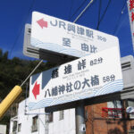
Near Okitsu Station, we started to see people looking “hiker-ish” with their backpacks and comfy walking shoes, telling us we were probably on the right track. Even with the all-in-Japanese map we received at the tourist center, the start of the trail was tricky to find—and not just for us.
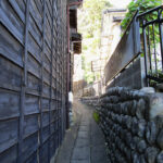
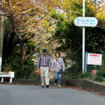
A Japanese couple had been about 100 feet behind us since Okitsu Station. We compared maps and notes, trying to find our way to the trail. Eventually, we took the road less traveled, heading up some stone steps along a narrow cement retaining wall where we found a set of stairs. Our new friends waited at the bottom for our signal… YES! We found the trail!

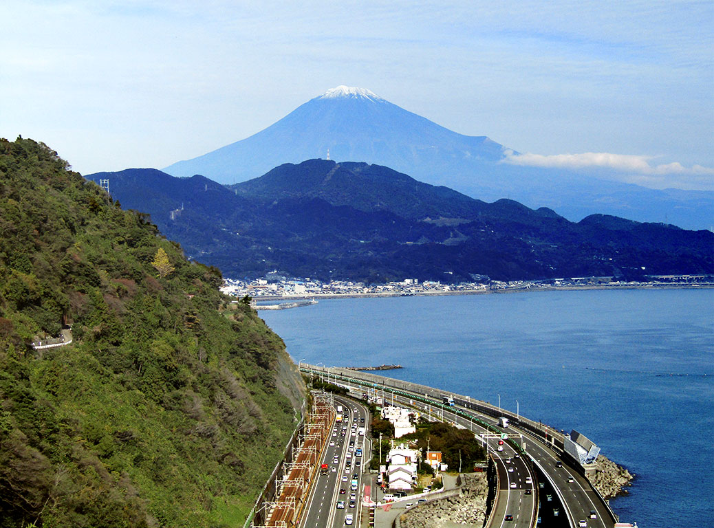
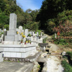
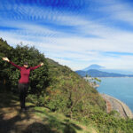
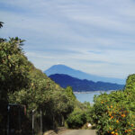
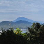
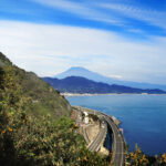
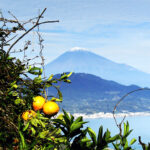
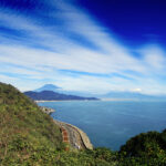
We followed the paved road up through the orchards, the trees plump with bright oranges ready for harvest. Finally we arrived at a proper trail, following it through a cemetery and up another hill. Before long, we came to the marker indicating the stretch known as Satta Pass. Just around the corner, we caught our first view of Mt. Fuji from the pass.
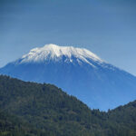
There is another famous collection of ukiyo-e paintings by Katsushika Hokusai called “Thirty-six Views of Mount Fuji.” We created our own version of this as there wasn’t a bad photo from the pass, which has two great viewing areas. A platform is set up with signage comparing the view from the pass to Hiroshige’s original painting.

We soaked in as much of the view as we could, then continued down the trail. The local orchard sold bags of mikan oranges for just 100 yen at a small rest area and parking lot and sold several bags while we caught our breath (including one to us!).
Views of the mountain continued to pop in and out between the orange trees. We passed hikers coming from the opposite direction, still full of energy and smiles as they were just getting started, likely ignorant to the hills that awaited them.

A group of older Japanese hikers caught up with us as we entered the old streets of Yui, which were reminiscent of the old part of Kawagoe. They had planned to make their way all the way to the mountain, but rain on Fuji cut their plans short. They were great walking companions for the stretch run, making chit-chat with us along the way.

We arrived at the Sakura Ebi (Cherry Shrimp) Street gate in front of Yui Station exactly five hours after our first glimpse of Fuji at breakfast. Walking in the footprints of history is exhausting work, the welcome sight of the station just as satisfying at it might have been in the 1600s.
