Gear, Tours and Tips: Making the Most of Your Mt. Fuji Climbing Experience

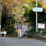
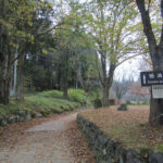
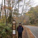
A sign pointing toward the trail to Mount Fuji's summit.

Reaching the summit of Japan’s iconic Mount Fuji is often on the short list of activities for visitors, but few realize the small window of opportunity for novice climbers. At more than 12,000 feet of elevation, the terrain is only passable for about 8-10 weeks from mid-July to early-September.

The view of the sunrise from the summit of Mount Fuji makes climbing through the night all worth it.

Reaching the Top

The top of Japan’s tallest peak can be reached a few different ways, but most climbers attempt to arrive at the summit for the sunrise. Arriving by 4:30 a.m. requires climbing during the middle of the night. While it’s possible to make all of the arrangements yourself, it’s much simpler to book a tour through one of the many companies leading both local and foreign visitors to the top.

We made our summit in August 2014 and chose Willer Express as our travel company. With daily tours departing from near Tokyo’s Shinjuku Station, Willer Express provides bus transportation to and from Fuji’s 5th Station, an English-speaking guide, mountain hut lodging at the 8th Station, three meals and a visit to an onsen (hot springs).

Gear Up

With the 90ºF temperatures of the Tokyo summer, it’s hard to imagine you could be fighting off hypothermia less than 24 hours later. Having the right gear may be the most important consideration in making the climb an enjoyable experience.

Most tour companies offer an affordable gear package, which can be convenient for novice climbers or those traveling light. If you bring your own gear, consider the following items at a minimum:

Lightweight daypack with rain cover. Bring a bag just large enough to carry your gear. From Tokyo to Fuji’s summit, you’ll experience a 40-60ºF decrease in temperature, so you’ll need to be able to swap gear on and off along the way.

Waterproof jacket and pants. When it rains, it pours. Literally. On our summit, it started raining about 20 minutes before we reached the mountain hut at Station 8. By the time we arrived, we were soaked to the bone, even with our rain gear. Hut employees won’t allow you inside until you are dry and will greet you with leaf blowers and towels to keep the rainwater outside.

Waterproof hiking boots/shoes. With the steep ascent and descent, you’ll want properly-fitting hiking shoes with good traction. I’d recommend buying these beforehand and testing them in the wild rather than renting an ill-fitting pair of shoes on the morning of the climb. A pair of gaiters isn’t a terrible idea either to keep rain from entering via the tops of your shoes.

Cold-weather clothing. Poor clothing choices are one of the most common mistakes made by Fuji first-timers. Average temperatures at the summit are around 40ºF, but can feel much closer to freezing due to wind chill and the aforementioned rain. Dress in layers so you can add and remove as needed during the climb.

The terrain on the ascent of Mount Fuji varies from flat, volcanic rock to steep, rocky peaks. The right gear will make your experience all the more enjoyable.

Hiking poles. Poles aren’t necessary for the ascent, but will come in handy on the long, steep descent. You can purchase a souvenir wooden pole and can have it stamped at each of Fuji’s stations to mark your progress. Make sure you have gloves if you choose the wooden pole as it’s more for looks than utility.

Hats. You’ll be climbing both in the sun during the day and in the cold at night. Consider a brimmed hat for keeping the sun away and a hat that will cover your ears for early-morning climbing.

Gloves. Bring warm, durable, waterproof gloves with good grip. I had warm gloves, but once they were wet, they were no longer warm. You’ll also be using your hands a lot near the final ascent to the summit, so they’ll need to stand up to sharp rocks.

Mt Fuji Headlamps
The view from our hut window around 1 a.m… a never-ending string of headlamps joining us for the climb to the summit

Headlamp. You’ll need your hands free to navigate the rocks near the summit, making a headlamp a better choice than a handheld flashlight. One of my favorite sights was waking up at the mountain hut at 1:30 a.m. and seeing the endless headlamps coming up the trail behind us.

Sunglasses/sunscreen. Fuji is exposed to all the elements, especially the sun. Bring a good quality sunscreen and UV-blocking sunglasses.

Water and snacks. Our tour company recommended three liters of water per person for the entirity of the climb. You can carry it all with you or bring one and purchase additional bottles at stations along the way. While it’s more economical to bring your own, it might be worth the extra yen to lighten your load.

Change of clothes. Bring a change of clothing and shoes, especially if you choose a package that ends with an onsen visit. The ride back to Tokyo will be much more pleasant in a clean outfit.

Japanese yen. Mount Fuji is one of the few places in Japan where you’ll find pay toilets. At 200-300 yen ($2-3 USD) per turn, you’ll want to budget accordingly. You can also buy additional water, snacks and gear at each of the stations. Japan is a very cash-oriented society, so carrying large amounts of money is not unusual.

Camera and extra batteries. The views on the mountain are breathtaking and you’ll have plenty of opportunities to take photos. I don’t recall electrical outlets in the mountain hut, so make sure you have extra batteries or a portable charger.

Extras. If you are prone to elevation sickness, oxygen canisters can be purchased along the way, but you might consider bringing one with you in case canisters are sold out. In our group, the first case of elevation sickness from the thin air showed up around the 7th Station.

The sleeping arrangements in the mountain huts are cozy and booked solid. Be prepared to make some new friends!

Tips

Stash your extra clothes, shoes and gear at the 5th Station. There are coin lockers at the 5th Station. I wish I’d stashed a complete set of dry clothes, including shoes, in one of those lockers. While the onsen was great, it was awful having to put wet clothes on afterward. It’s also a cheap way to lighten your load up the mountain.

Take the tour. Definitely spring for the tour company (we used Willer Express and would recommend them again) and take them up on their entire rental package. Mountain hut reservations often fill up quickly, but the tour companies have standing reservations.

Prepare for the rain and cold. I had a base layer, cotton shirt, DriFit pullover, fleece jacket and rain jacket and my teeth were still chattering at the summit. My gloves were soaked and freezing. My two layers of socks were the only thing standing between my toes and frostbite. Choose layering clothes as the temperature difference between the 5th Station and the summit is pretty extreme.

Check the calendar. The climbing season is short. If you’re planning to climb Fuji, make sure to schedule your trip between early July and mid-September. While you can still climb in the off-season, shops and huts are closed and trails are not maintained and the ascent can be dangerous for inexperienced climbers.

Seven Wonders: Mount Hood

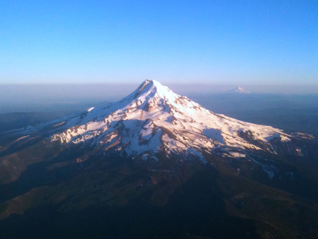
Mount Hood from Airplane

Mount Hood is the third in a series of posts on Cascadian Abroad focusing on the Seven Wonders of Oregon.

Growing up in the northern end of Oregon’s Willamette Valley, it was easy to take the majesty of Mount Hood for granted. The glowing beacon in the east filled the horizon while effortlessly blending into the background.

Looking at the northwest face of Mount Hood from the Hood River Bridge.

It was only after moving away from the Valley that the iconic mountain became something more. When I’d drive home from college, it was the mountain that told me I was getting close. Living in Japan in the shadow of Mount Fuji, I would always be reminded of Mount Hood and how lucky I was to experience two of the world’s great natural creations on a regular basis.

Mount Hood might be the quintessential Oregon image with its perfectly pointy, snow-covered peak. But in true Oregon fashion, the natural beauty is just the first of many layers that tell the whole story of the mountain the Multnomah tribe called Wy’east.

At just over 11,000 feet, Oregon’s tallest mountain is also a semi-active volcano. Recent earthquake swarms, while common, served as a reminder that Hood is Oregon’s most likely candidate for a volcanic eruption, last bursting in 1865.

The summit of Mount Hood is mostly free of snow by mid-spring.

Eruption concerns don’t keep the visitors away. During the winter, Mount Hood is the ultimate playground for snow sports. Snowboarders and skiers come from around the world to tackle the miles of trails at Mount Hood Meadows, Timberline and Skibowl, home to the largest night skiing area in the U.S.

The surrounding national forest keeps things busy during the dry season, with more than 1,000 miles of hiking trails and 140 miles of mountain biking trails. We recently tackled a pair of gorgeous hikes, including the family-friendly Mirror Lake trail. The three-mile in-and-out hike slowly gains 700 feet of elevation via switchbacks from the trailhead to Mirror Lake. Views of Mount Hood’s peak reflecting in the aptly-named lake are simply breathtaking.

In the afternoon, we tackled a good portion of the seven-mile Ramona Falls trail. Crowds thin out after the first mile where the trail crosses the Sandy River. The bridge over the river was destroyed in a rainstorm in 2014 and has not been replaced, requiring hikers to brave the crossing via fallen tree trunks. Around mile three, the trail connects with the famous Pacific Crest Trail, leading to the wide, cascading waterfall.

Click any photo in the gallery to see a larger version and start a slideshow view

With all the physical activities, it’s no surprise that the area also offers plenty of opportunities for relaxation. Timberline Lodge is among the most popular stops for tourists visiting the mountain. The National Historic Landmark was originally a project of the Works Progress Administration as a way to put people back to work after the Great Depression. The 40,000 square-foot lodge was finished in 1938 and dedicated by President Franklin D. Roosevelt himself.

Today, the lodge draws in freezing skiers and snowboarders who surround the six-sided, two-story fireplace in the lobby. A small museum tells the story of the construction and restoration of the lodge and includes displays of Native American art, artisan-built furniture and even Roosevelt’s chair. As a child of the 1980s, I was most impressed to learn that the drawing of the skier on a chairlift on the orange Pee-Chee folder was taken from a photo on Timberline’s “Magic Mile” chairlift. The photo of Merrie Douna riding the world’s second chairlift was also featured in a 1948 issue of Life magazine.

For out of town visitors, Timberline’s connection to popular culture is a major draw. The exterior of the lodge was featured in the 1980 Jack Nicholson classic The Shining as well as the film adaptation of Cheryl Strayed’s best-selling novel Wild.

On a warm day, a stop into the Mt. Hood Brewing Co. taphouse just off of Highway 26 in Government Camp is worthwhile. Six flagship brews and a handful of seasonals are served on a frozen rail built into the bar, invoking the feeling of winter even in the dog days of summer.

If You Go…

Mount Hood National Forest
From Portland, take I-84 E to US-26 E toward Mt. Hood.

Timberline Lodge
From US-26, follow signs for Timberline Lodge. The lodge is open 24 hours. Check website for restaurant and lift hours.

Skibowl
From US-26, follow signs for Skibowl. See website for seasonal hours.

Mirror Lake Trailhead
On US-26, look for the roadside parking area about two miles west of Government Camp. A Northwest Forest Pass is required, but day passes can be purchased from stores on US-26. Family-friendly.

Ramona Falls Trailhead
From US-26, turn left onto E Lolo Pass Rd near Welches. Turn right onto Forest Road 1825 and turn right across the bridge in about a half-mile. Follow narrow road to large parking area. A Northwest Forest Pass is required, but day passes can be purchased from stores on US-26. Due to the dangerous river crossing, this is not a family-friendly hike.

Mt. Hood Brewing Company
On US-26 at Government Camp. Open daily 11 a.m.-9 p.m.

Satta Pass: Walking Through History

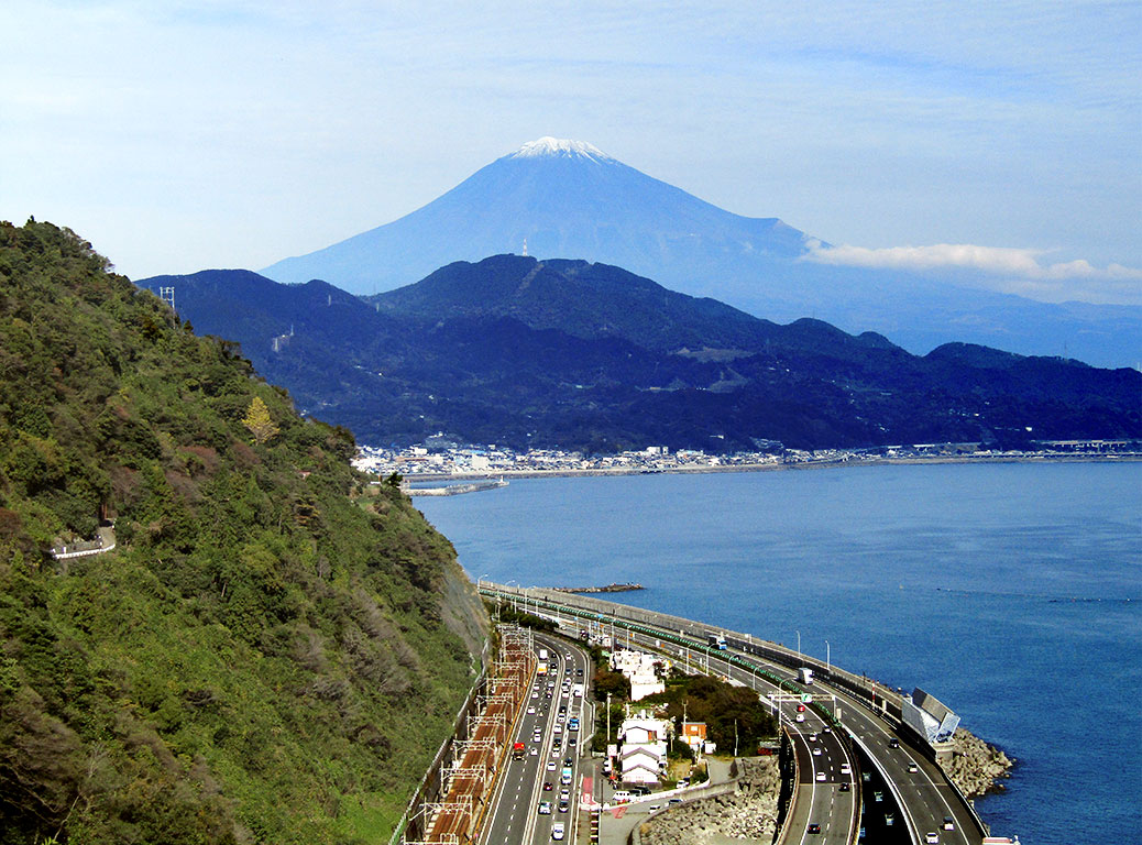
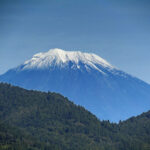
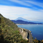
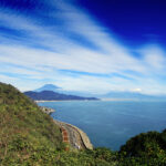
Mt. Fuji as seen from Satta Pass

Today, the Tokaido (literally “East Sea Road”) is made up of major highways and the Tokaido Shinkansen line, the world’s busiest high-speed rail line linking Japan’s biggest cities. If you’ve ever traveled between Tokyo and Kyoto, you’ve been on the Tokaido.

But the Tokaido has a long history. 400 years ago, it was the most important of the five roads linking the then-capital of Kyoto to Tokyo during the Edo Period (1603-1868). Travelers would traverse the 514-kilometer path by foot, stopping along the way at the 53 (later 57) post stations where they could rest, eat and purchase supplies.

Utagawa Hiroshige's ukiyo-e painting "16th station : Yui" shows the view of Mt. Fuji from Satta Pass.
Utagawa Hiroshige’s ukiyo-e painting “16th station : Yui” shows the view of Mt. Fuji from Satta Pass.

The original 53 stations were captured in a series of ukiyo-e (wood block paintings) by Utagawa Hiroshige, the last great master of the artform. His collection, “The 53 Stations of the Tokaido,” ushered in a new era of landscape painting and is one of the most popular series of paintings in the world.

A couple weeks ago, we found ourselves on the Tokaido for the fall conference of the Japan Association for Language Teaching (JALT) in Shizuoka City. The city itself wasn’t incredible noteworthy, but it’s location on picturesque Suruga Bay plants it squarely in the middle of history.

Not much remains of the original road, but a hiking route still exists along Satta Pass—one of the most dangerous areas of the original road—between the 16th station at Yui and the 17th station at Okitsu. Since we were staying near the 18th station (Ejiri) in Shimizu, we decided to arrive a day early and walk a bit of the Tokaido.

Our first view of Mt. Fuji was a surprise

Before heading out, we stopped for breakfast near Shimizu Station. We sat on a sidewalk bench facing the shops, enjoying our meal when I glanced over my shoulder. I nearly choked on my coffee when I saw the imposing Mt. Fuji filling up the background between the buildings. We rotated 180-degrees and finished our meal.

The plan was to follow the Tokaido from Ejiri to Yui. We popped into the tourist information center and asked for guidance on our proposed path. In typical Japanese fashion, we were given an answer to our specific question. However, more useful advice would have been to skip the stretch from Ejiri to Okitsu.

The modern-day Tokaido is a major highway overlooking Suruga Bay's active industrial area.
The modern-day Tokaido is a major highway overlooking Suruga Bay’s active industrial area.

The three-mile walk to Okitsu wound through modern neighborhoods, past working warehouses and along the current Tokaido—a major highway. We were already tired by the time we reached Okitsu, but a quick stop for taiyaki got us going again.

Near Okitsu Station, we started to see people looking “hiker-ish” with their backpacks and comfy walking shoes, telling us we were probably on the right track. Even with the all-in-Japanese map we received at the tourist center, the start of the trail was tricky to find—and not just for us.

A Japanese couple had been about 100 feet behind us since Okitsu Station. We compared maps and notes, trying to find our way to the trail. Eventually, we took the road less traveled, heading up some stone steps along a narrow cement retaining wall where we found a set of stairs. Our new friends waited at the bottom for our signal… YES! We found the trail!

The Satta Pass marker, but where was the view from the painting?

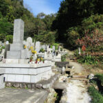
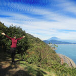
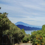
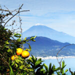
We followed the paved road up through the orchards, the trees plump with bright oranges ready for harvest. Finally we arrived at a proper trail, following it through a cemetery and up another hill. Before long, we came to the marker indicating the stretch known as Satta Pass. Just around the corner, we caught our first view of Mt. Fuji from the pass.

There is another famous collection of ukiyo-e paintings by Katsushika Hokusai called “Thirty-six Views of Mount Fuji.” We created our own version of this as there wasn’t a bad photo from the pass, which has two great viewing areas. A platform is set up with signage comparing the view from the pass to Hiroshige’s original painting.

Looking over the orange orchards at Suruga Bay

We soaked in as much of the view as we could, then continued down the trail. The local orchard sold bags of mikan oranges for just 100 yen at a small rest area and parking lot and sold several bags while we caught our breath (including one to us!).

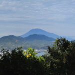
Views of the mountain continued to pop in and out between the orange trees. We passed hikers coming from the opposite direction, still full of energy and smiles as they were just getting started, likely ignorant to the hills that awaited them.

The old streets of Yui

A group of older Japanese hikers caught up with us as we entered the old streets of Yui, which were reminiscent of the old part of Kawagoe. They had planned to make their way all the way to the mountain, but rain on Fuji cut their plans short. They were great walking companions for the stretch run, making chit-chat with us along the way.

A "decorative" gate in front of Yui Station, showing the sakura-ebi (cherry shrimp) that are famously found in Yui's part of Sugura Bay
A “decorative” gate in front of Yui Station, showing the sakura-ebi (cherry shrimp) that are famously found in Yui’s part of Sugura Bay

We arrived at the Sakura Ebi (Cherry Shrimp) Street gate in front of Yui Station exactly five hours after our first glimpse of Fuji at breakfast. Walking in the footprints of history is exhausting work, the welcome sight of the station just as satisfying at it might have been in the 1600s.


Hiking in Hanno: Ancient Temples

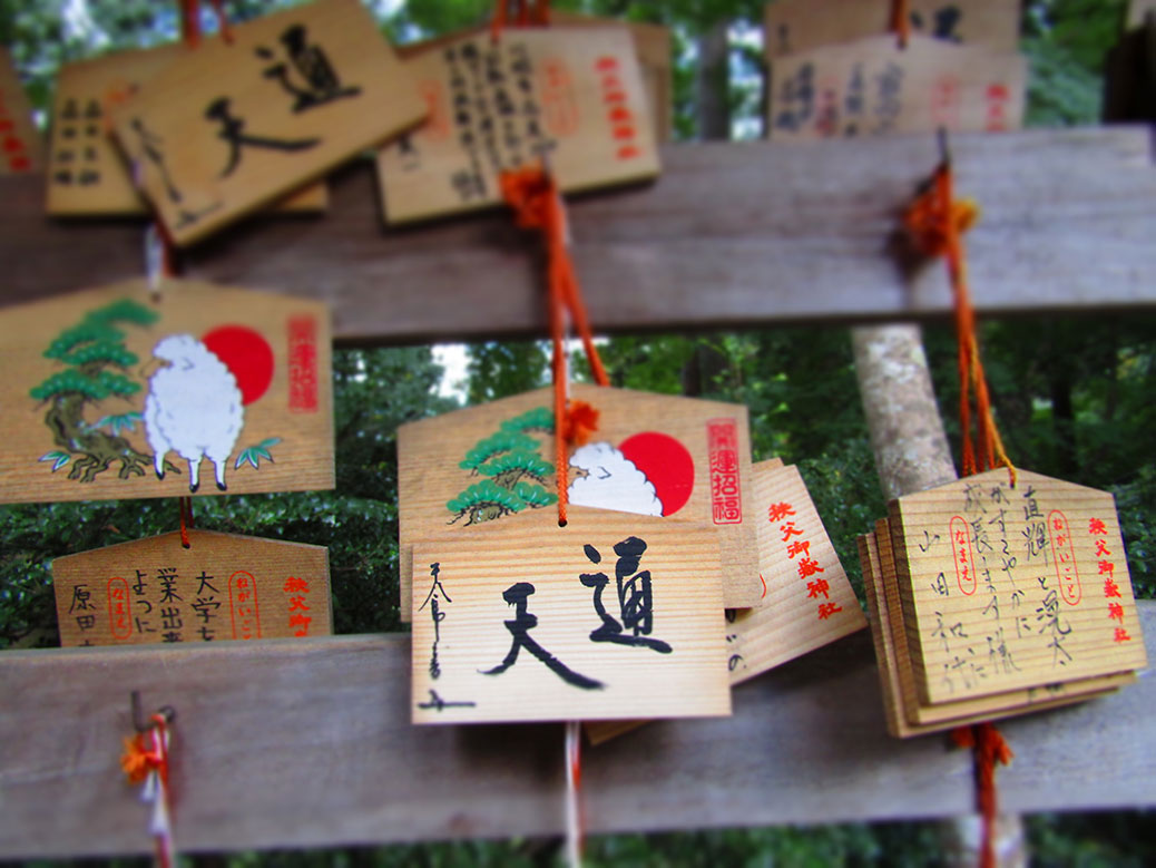
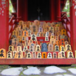
Ema at Chichibu Mitake Shrine in Hannō City, Saitama

Our latest Wednesday afternoon hike (check out our recent jaunts in Ogawa and Tokorozawa’s Totoro Forest) took us into the foothills of the Okuchichibu Mountains and nearby Hannō City. Back in May, we met a couple Japanese ladies on our way to another hike in Hannō who suggested we try the trail to Neno-Gongen Temple.

The city’s website provided a basic outline of the hike advertised as the Ancient Temples of Oku-Musashi. I mapped it out in detail to ensure we wouldn’t get ourselves lost in the woods (in literary circles, this sentence is called “foreshadowing”).

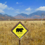
The tree-covered hills of the Okuchichibu Mountains are home to a decent-sized population of Asiatic black bears. Most hikers wear a bell like this one to keep from sneaking up on a bear in the woods.

We arrived at Agano Station, the starting point for our hike, around 2 p.m. The train station was selling bear bells, which we’d been meaning to buy for awhile. The hilly forests host a good-sized population of Asiatic black bears. The ringing of the small bells is a common sound on many of the region’s hiking trails. Knowing we’d be on our own for much of the day, it seemed like a good time to pick one up.

The bell from Tōzen-ji temple in Miyagi Prefecture is now on display at Hoko-ji temple, just outside Agano Station.

Just down the street from the station, we made our first stop at Hoko-ji, a Buddhist temple established in 1386. For a small-town temple, it had several impressive pieces, although its most impressive didn’t even belong to the temple.

Large bronze bells (ō-bonshō) are a fixture at Buddhist temples. This particular one was part of Tōzen-ji temple, located in Miyagi Prefecture on the northeast coast of Japan. The temple was destroyed in the 2011 tsunami and the bell washed into the ocean. Hoko-ji will continue to be the bell’s caretaker until the temple in Miyagi is rebuilt.

An American of average height, I'm constantly ducking under things in this country!
An American of average height, I’m constantly ducking under things in this country!

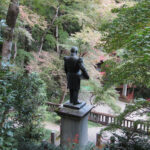
After ringing the bell a couple times, we passed through the low-ceiling tunnel under the train tracks and followed the path to Togo Park. The park is named for Heihachirō Tōgō, an admiral in the Imperial Japanese Navy during the 1800s who grew up in the area. The steep-hilled park is popular for viewing the changing autumn leaves.

Click any photo in the gallery to see a larger version and start a slideshow view

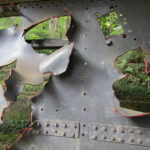
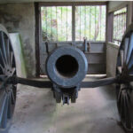
At the top, reached by climbing nearly 400 steps, we were rewarded by an outdoor “museum” to the Russo-Japanese War. A piece of artillery-shelled deck from the battleship Mikasa and a Russian-made cannon with artillery shells are among the items on public display. Higher up, a small bamboo grove surrounds Chichibu Mitake Shrine. The shrine is the only one in Hannō that has a Shinto priest living on site.

Click any photo in the gallery to see a larger version and start a slideshow view

We climbed back down the steps to the park’s entrance and started up the road to Neno-Gongen Temple. Along the way, we passed Asamichaya, a teahouse and udon noodle shop that has been tucked away in the mountains since 1855. It was already closed for the day, but it’s still operating as a resthouse for weary travelers looking to fuel up or just grab a quick snack on the trail.

As we approached the gates of Neno-Gongen Temple, the road opened up into an amazing view. Thanks to the clear weather, we could see all the way to Tokyo Skytree and the Yokohama Landmark Tower, more than 40 miles to the east.

Click any photo in the gallery to see a larger version and start a slideshow view

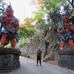
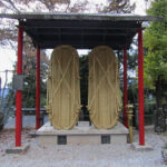
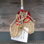
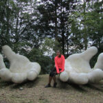
Neno-Gongen is all about extremes. A pair of giant Kongōrikishi statues wait at the gate in their permanent intimidating poses. Inside, an oversized pair of straw sandals hang near the main temple with two more metal versions sitting nearby. Opposite the giant sandals, miniature sandals serve as ema (prayer offerings) left by worshippers. Down the hill, a pair of giant hands rest in a traditional Buddhist mudra position.
The sunset at Neno-Gongen Temple

Neno-Gongen was roughly the halfway point of our hike. It was exactly 5 p.m. when the sun started to disappear. We were literally in the middle of the mountains; too far to turn back, so we powered forward.

Note to our mothers: You should probably stop reading now and just assume that everything continued according to plan! 🙂

We had about two miles remaining to reach the town where we’d catch the bus. In hindsight, we might have chosen to follow the road from the temple in hopes to find a passing car, but—to paraphrase Jung—wholly unprepared, we embarked down the path into the forest.

The last photo of the day, tree trunks illuminated by the camera flash as only darkness awaited us.

The trees quickly blocked out what remained of the sunlight. Soon, the narrowing trail was pitch-black. To the left, the slope of the forest. To the right, a drop-off into the trees. All we had for light was the display screen from the camera.

Things quickly turned into an amateur remake of the Blair Witch Project. Weird screeching sounds echoed through the forest. Rustling sounds—real or imagined—stopped us in our tracks. The journey slowed to a crawl as the path devolved into a steep slope entangled in a snarl of exposed tree roots.

We arrived at Takedera Temple as the camera battery drained toward end of life. We used what was left of our light to find the nearest road. While it headed away from our bus stop, it would at least get us out of the forest. As we walked through the temple’s front gates, a motion-sensing security flood light flashed on, sending a rush of adrenaline surging through us that would last well into the night.

Once we found the paved road, we followed it down in a half-run until civilization finally re-emerged. We saw a bus stop, but we’d missed the final bus of the day by 30 minutes. Certain that we were still some distance from a train station, we flagged down the first car that passed. A young woman named Yū stopped.

Me: Do you know where the nearest station is?
Yū: Hannō.
Me: Is it far?

She gave me that look of pity that has become all too familiar over the last year and a half and invited us into her car. We were immediately comforted, both by the ride and the Of Monsters and Men song “From Finner” playing on her radio. The lyrics fit the moment perfectly:

And we are far from home, but we’re so happy
Far from home, all alone, but we’re so happy

We drove… and drove… and drove. She told us she was going to Hannō to visit friends, so it wasn’t out of her way. But with the Japanese penchant for friendliness, she could have been a minute from home when she picked us up. We’ll never know.

She dropped us at Higashi-Hanno Station. We offered gas money, but of course she declined. I removed the Totoro Fund button that we bought on our last hike from my backpack and gave it to her as a token of appreciation.

If this is our last hike of the season, it certainly will be a memorable one!

Nikkō

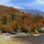
Thanks to the university choosing to celebrate the 50th anniversary of its founding by canceling Friday classes, we were gifted an extra-long weekend and made a trip to Nikkō. Located in Tochigi Prefecture, about three hours north of Kawagoe via local trains, Nikkō is a popular destination for viewing koyo, or “fall colors” thanks to its high elevations around picturesque Lake Chūzenji.

Day 1: Kanmangafuchi Abyss

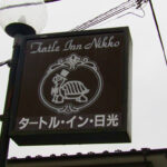
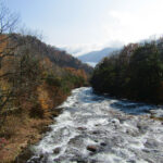
We arrived Thursday afternoon amidst a light but steady drizzle. We caught a local bus to our ryokan, the Turtle Inn, alongside the Daiya River. After dropping our bags, we took a short walk to Kanmangafuchi Abyss, an ancient gorge formed by the eruption of Mount Nantai.

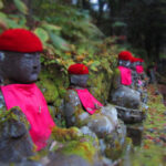
Along the way, we saw the beginnings of fall in Stone Park before arriving to a line of 70 stone Jizo statues. Known as “Bake Jizo” or “Ghost Jizo”, the Buddhist statue is believed to be the protector of children, especially those who pass away before their parents. The statues are a common sight in Japan, usually clad in knitted hats and bibs that are often provided by the grieving parents.

After our short hike, we went to Bell, a small, family-run cafe that features yuba—Nikkō’s local speciality—in a large set meal. Yuba is the skin that forms on the top of boiled soy milk and takes on the flavors of the surrounding ingredients much like tofu. Their delicious “Monk’s Diet” set featured six different vegetarian preparations of yuba.

Click any photo in the gallery to see a larger version and start a slideshow view

Day 2: Senjogahara Hike

We were met with a misty rain on the morning of our second day as well. We boarded the bus for the hour-plus ride out past the north end of Lake Chūzenji. As we wound through the curvy mountain roads, the sky began to clear up, turning into a cool but pleasant day.

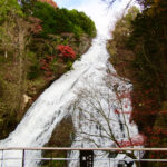
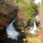
English-language maps are located all over town featuring useful guides to get the most out of a Nikkō visit. We chose the 6.3km hiking course from Yutaki Falls through the Senjogahara Marshlands ending at Ryuzu Falls. The course begins at the massive Yutaki Falls where those traveling by car stop before continuing on to the Yumoto Hot Springs.

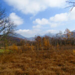
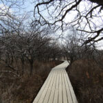
After snapping a few pictures, we ventured out onto the trail, which mostly consists of newly-built boardwalks that keep your feet out of the muck while protecting the natural habitat from the thousands of daily visitors. The crowds thinned considerably as we moved away from the falls. The scenery is beautiful as it evolves from dense forest to the open plains of Senjogahara Marshlands. The scenery is framed by the nearby mountain range, anchored by Mt. Nantai, Nikkō’s answer to Mt. Fuji. We ended at Shobugahama Beach on the north shore of Lake Chūzenji before catching a bus back to the city.
That night, we headed toward the city center to find dinner. Although it was a Friday night, many of the restaurants were closed despite the streets crawling with tourists. While looking at cheap Ukiyo-e prints, we bumped into a couple from San Francisco who were looking for a nearby vegetarian restaurant (among those already closed for the night). We chatted for awhile and gave them directions to the place we ate the night before.

As we popped in and out of the other restaurants trying to find a vegetarian-friendly meal, we ran into them again. They’d been doing the same, showing their vegetarian travel card to every shop owner before being turned away due to the fish broth, or fish chunks or fish fish. This time they stuck with us and together we tried to find a place to eat. Thanks to TripAdvisor, we finally arrived at Maruhide Shokudo.

The hostess invited us into the small restaurant and started going through the menu with us in Japanese with a little bit of English. With a few modifications, we came up with a pretty good selection of food, including a teriyaki yuba burger—sort of like shredded roast beef—and yuba-filled potato and soy croquettes. We shared travel stories (they’d lived in Hong Kong and Sydney for short periods) and enjoyed the great meal with new friends.

Click any photo in the gallery to see a larger version and start a slideshow view

Day 3: World Heritage Shrines and Temples

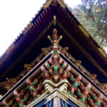
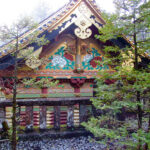
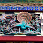
For our last day, we stayed in town to visit the UNESCO World Heritage-designated Shrines and Temples of Nikkō. Two Shinto shrines (Futarasan Shrine and Tōshō-gū) and one Buddhist temple (Rinnō-ji) make up the complex along with the large cedar forest surrounding the area.

Not unlike the shrines and temples in Kyoto, the Nikkō complex requires a ticket to get in. For 1,300 yen, you get a ticket to Tōshō-gū and entrance to the tomb of Tokugawa Ieyasu. Ieyasu was the founder of the Tokugawa Shogunate which ruled Japan for more than 200 years while laying the groundwork for the Japanese imperialism era of the late 1800s and early 1900s.

Unfortunately, both Tōshō-gū and Futarasan are undergoing major restoration work. Coupled with the large Saturday crowd, the shrines were a little disappointing, but it was still easy to see why they’re an important part of Japan’s history.

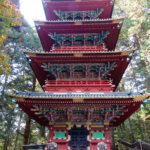
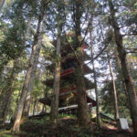
The most complete artifact of the complex had to be the Five-Storied Pagoda, originally built in 1650, destroyed by fire and then rebuilt in 1818. It uses a unique center pillar called a shinbashira for support which has long been thought to be the reason pagodas perform well in earthquakes. Over the past 1,400 years, only two pagodas have collapsed in earthquakes.

After a self-guided tour and a short coffee stop, we set out for another walking tour. The Takino’o Path heads up into the cedar forest, visiting some unique shrines and natural sights. It was a great way to escape the crowds at the shrines and enjoy one last bit of peace and quiet before heading back into the city.

Click any photo in the gallery to see a larger version and start a slideshow view

Visiting Nikkō

Nikkō is a popular day trip for tourists as it’s less than two hours from Tokyo by Shinkansen. The All-Nikkō Pass can be reserved online and provide a great discount on train and bus fare.

We stayed near the shrine area and while we enjoyed our ryokan, we probably would choose something in the Lake Chūzenji area next time. If the natural sights and hiking are your thing, I’d recommend the same. If you’re more into shopping, eating and the shrines, staying closer to the station is a better option. The bus between the areas takes about an hour and costs anywhere from 1,000-1,500 yen each way.

Searching for Totoro

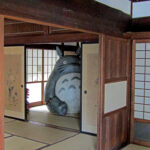
The Totoro display at Kurosuke House in Tokorozawa, Saitama, Japan

The sound of the rustling leaves told us something was lurking nearby. We wandered deeper into the camphor trees, acorns cracking under our feet. We knew he was nearby… any minute now, we’d find Totoro.

Totoro, of course, is a large cat-like spirit who stars in My Neighbor Totoro (となりのトトロ), one of writer/director Hayao Miyazaki‘s famous animated films. Totoro gained some fame among fans of Japanese animation in the U.S. when Disney dubbed the film into English in 2005, but the movie and its characters are deeply engrained in Japanese pop culture.

I’d never heard of Totoro or Miyazaki before coming to Japan. I’d kind of heard of another Miyazaki film, Spirited Away, but only because of its 2002 Academy Award win for Best Animated Feature. Turns out they’re just two of many wildly popular and successful films in the Studio Ghibli catalog.

Last week accidentally turned into a Totoro pilgrimage. We’d been trying to visit the Studio Ghibli Museum for a few months. Tickets are limited to a certain number per day and usually sell out weeks in advance. We finally managed to score a pair for the last entry on a Sunday afternoon.

Click any photo in the gallery to see a larger version and start a slideshow view.

We caught our first glimpse of Totoro as we entered the gates of the museum. While photos are not allowed inside, the museum’s exterior grounds offered plenty of fun photo opportunities. Inside, kids of all ages geeked out over a mix of exhibits showing different animation techniques, Miyazaki’s workspace and interactive opportunities for everyone. There’s even a film made specifically for the museum called The Whale Hunt (くじらとり).

Our Totoro adventures didn’t end at the museum though. We’ve been trying to milk the end of summer by heading out for some local hikes. While looking for something new this week, we stumbled on something called Totoro’s Forest. About 10 miles to the south of us is 8,650 acres of woodlands known as Sayama Hills.

More famously, it’s the inspiration for the lush, magical forest scenes from My Neighbor Totoro. The Totoro no Furusato Foundation has been working to preserve the area’s natural beauty over the past 25 years. If we were going to find Totoro, it seem like this was the place to do it.
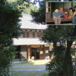
Our first stop was the Kurosuke House. The 100-year-old home is a perfectly-preserved example of early 20th-century Japanese homes and also served as inspiration for some of the home scenes in Totoro. The foundation runs a small gift shop inside and offers maps of the local area.

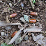
A basket on the outside porch contained several acorns. One of Totoro’s plot devices is how one of the girls in the movie finds a trail of acorns, which eventually lead them deep into the forest and to Totoro.
We left Kurosuke House and headed down the road to the Tokorozawa campus for Waseda University. Just off its camphor tree-lined path was the trailhead for the first two Totoro Forest sections. We headed up the narrow mosquito- and spider-ridden path, seeing the irony of this hike taking place within spitting distance of the university’s paved bike path.

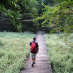
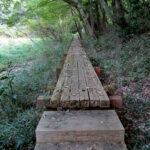
We started to see more acorns on the ground, seemingly laid on the trail as if they wanted to be followed. We stayed with the trail, crossing a mudbog that seemed to be the source of all of Japan’s mosquitos before  arriving at a fork in the path. Straight ahead was a sightseeing spot. To the left, a scenic wooden footbridge leading deeper into the forest. Not wanting to get too far off the trail, we followed the footbridge.

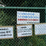
Turned out that was the wrong decision. The sightseeing path would have taken us along the path indicated on our cartoonish map of the area. Instead, we wandered into knee-deep grass. Giant spiders weaved traps between every tree. Too far to turn back, we headed for a fence in the distance. We finally found a gate and exited back to the road. A sign on the outside of the fence read “トトロの森でわありません” or “This is not Totoro’s Forest.”

We wandered around the edge, walking in circles for the next hour before finally finding our route again. Covered in fresh mosquito bites, broken spider webs (and, it turns out, an actual spider!), I was ready to cash in this “hike,” but we trekked on. Totoro was still out there…

Things started looking up as we headed up into the hillside. Scenes familiar from the movie started to pop up. A lone camphor tree in a meadow recalled the gateway to Totoro’s forest home. A small shrine in the woods was reproduced in the film. From the top of the hill, we could see over Tokorozawa City. Rumor has it that Totoro’s name came from Miyazaki’s niece mispronouncing the city’s name as “Totorozawa.”

Kotiya-san, an artist with an eccentric style, came out to greet us along the path. He gave us one of his pinwheels made from old water bottles.

As the sun began to set, we knew we had better pick up the pace if we wanted to find Totoro. The houses were few and far apart in this area, but as we approached the stretch run, we came to a home with several eccentric pieces of art decorating the fence. The owner, Kotiya-san, came out to greet us. He gave us one of his pinwheels made from old water bottles and sent us on our way.

Is it Totoro?
Is it Totoro?

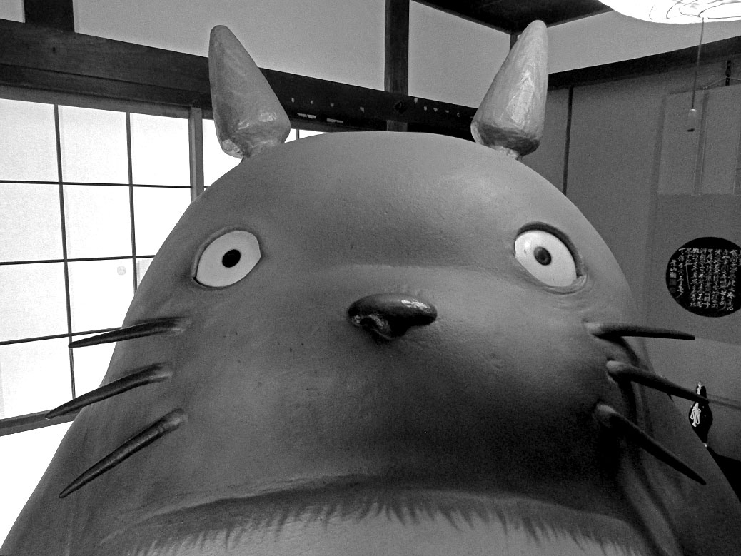
It was just down the street from Kotiya-san’s house when we saw it. The fur. The big eyes. The ears… is it Totoro? Close, but no cigar! Likely a creation of Kotiya-san himself, a life-size version of Totoro known as Tokoro-chan made mostly from old fir branches.

We headed back into the forest one last time. The dark path was carved out of the ground with trees rising high above on both sides. There’s a scene in the movie when the family comes out of the woods that was clearly inspired by this stretch of forest.

Entering the world of Totoro

We emerged on the other side without an actual Totoro sighting, but we definitely stepped into Totoro’s world for a day. What a beautiful world it is!

Walking Guides

Walking guides of the area are available via the Totoro Fund website. The maps are only available in Japanese and lack some of the detail you’d want from a hiking map.

We followed map #3 from Kurosuke House to the Saitama Green Forest Museum. (For a custom Google Map, click here.) If you go during the summer or early fall, I’d suggest long pants and long sleeves to keep the mosquito bites to a minimum.

A Fruitful Day in Ogawa

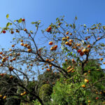
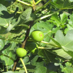
A sure sign of fall; persimmons growing in Ogawa, Saitama

The Japanese word satoyama describes the border between farm land and the foothills of the mountains. We’re lucky to live in a satoyama region, full of plants, animals and geography unique to our little area.

The diversity of the geography makes for some truly amazing hikes. We’ve done some great ones in the last year and a half, but we’re still finding beautiful new land to conquer.

This past week we were fortunate to find a hike in nearby Ogawa that took us through the farms, mountains and shopping streets of this little town in the foothills of the Okuchichibu Mountains. Special thanks to a detailed post at Chaobang’s Travels for providing excellent directions on the five-mile trek.

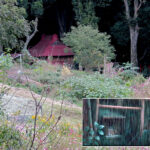
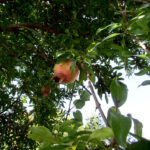
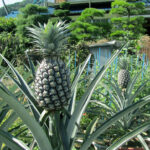
We were amazed by some of the fruits we came across on the hike. Persimmons are a popular fruit tree in our area. Many homes in our neighborhood have them growing in their yards and it is definitely persimmon season right now. But we also came across some unexpected fruit (pineapples and kiwi!?) as well as some mystery fruits, including akebe—a pod-like fruit that only has a two-week growing season.

Click any photo in the gallery to see a larger version and start a slideshow view.

It was a quiet day on the trail despite the perfect weather. We’ve reached the time of year where it’s hot in the sun, but the chill of autumn greets you in the shade. We had plenty of both along the way.

Click any photo in the gallery to see a larger version and start a slideshow view.

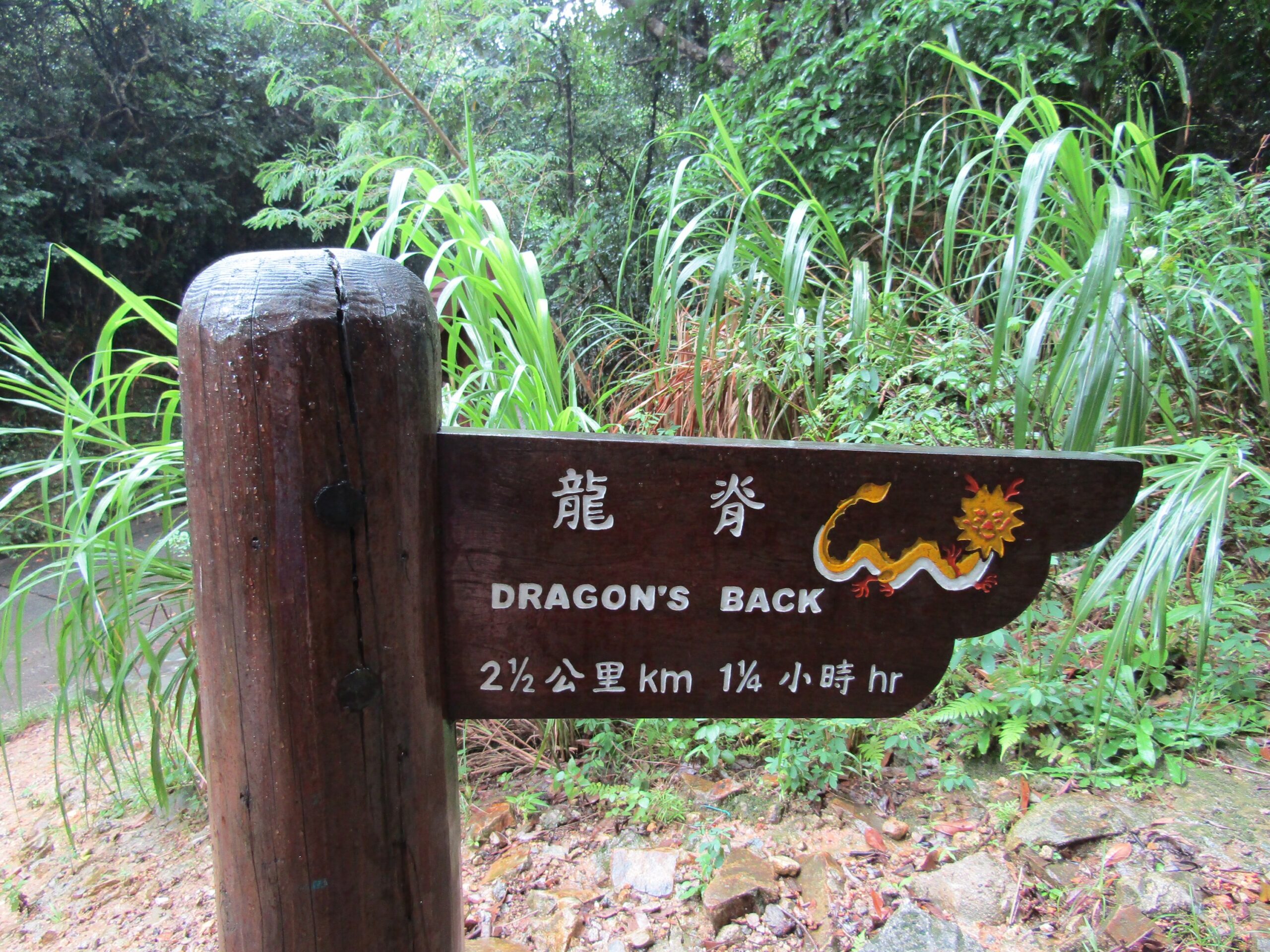
Day 24: Dragon’s Back

Hong Kong may be famous for its hoppin’ urban areas, but two-thirds of it is covered in natural areas. On Hong Kong Island, the 50 km (31 miles) Hong Kong Trail is a great way to experience forestland, beaches and awesome geology. We tackled the 8.5 km (5.2 miles) section known as Dragon’s Back, named by TIME magazine as the best urban hiking trail in Asia in 2004.


Most of Dragon's Back winds through wooded areas with some very colorful trees. The browns, oranges and whites on the bark of these trees reminded us of a giraffe's neck. Oh, and the silence... With all of the hustle bustle over the last couple of weeks, the silence of nature is deafening.
Most of Dragon’s Back winds through wooded areas with some very colorful trees. The browns, oranges and whites on the bark of these trees reminded us of a giraffe’s neck. Oh, and the silence… With all of the hustle bustle over the last couple of weeks, the silence of nature is deafening.

About halfway to the summit of Shek O Peak, the skies opened up and made the red clay paths a muddy mess. With the summit in sight, we encountered a puddle the size of a small pond that engulfed the path. Already soaked to the skin, we decided to forgo the swim and enjoy the near-summit views.

The views of Big Wave Bay and the South China Sea made the wet walk worthwhile.

Established more than 200 years ago by local fishing clans, the quiet, colorful streets of Shek O Village feel a million miles from the city. The vibe was much like the coastal villages of Central America.

Finally! We'd been dying for a beach day on this trip and finally got one at Shek O Beach. Despite a decent-sized crowd, the beach was fairly quiet except for the occasional screams of from the kids being swept up in the waves on their inflatables. The otherwise calm waters were perfect for soaking the sore hiking muscles.
Finally! We’d been dying for a beach day on this trip and finally got one at Shek O Beach. Despite a decent-sized crowd, the beach was fairly quiet except for the occasional screams of from the kids being swept up in the waves on their inflatables. The otherwise calm waters were perfect for soaking the sore hiking muscles.

More Photo of the Day posts from Taiwan, China, Hong Kong and Vietnam

Day 17: Huangshan

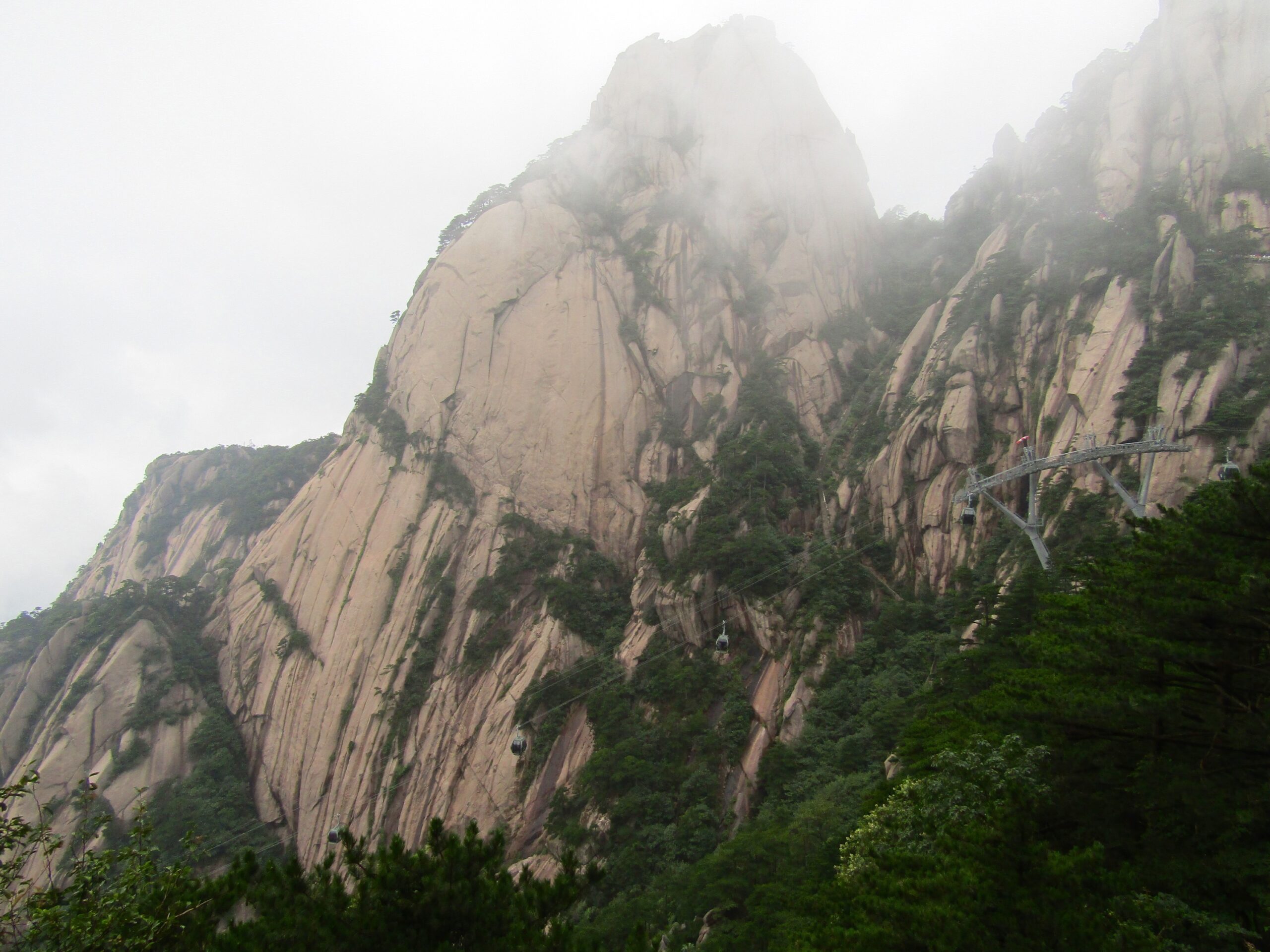
Asia boasts some of the world’s most famous mountains, but China’s Huangshan (Yellow Mountains) remain a bit of a secret outside the country despite its designation as a UNESCO World Heritage Site. One Chinese visitor even asked a member of our group how we learned about Huangshan, surprised to see foreigners mixed into the summer holiday crowd.


Our visit coincided with the end of the rainy season. The floating fog and mist is part of what makes Huangshan such a sight to behold, but the rainy weather made clear views of its twisted peaks a rarity.

There are two ways up for tourists—a cable car ride or a 7.5 km hike—but for the supply guys, the only option is carrying it up the old-fashioned way. The prices at the top reflect the labor.


On the 1,000 meter hike from the bus station to Lotus Flower Peak, we logged more than 17,000 steps--the first 5,000 of which were straight up steep steps.
On the 1,000 meter hike from the bus station to Lotus Flower Peak, we logged more than 17,000 steps–the first 5,000 of which were straight up steep steps.

At Bright Summit Peak, lovers tie padlocks to the railing and toss the key into the valley below, ensuring an eternal bond.

Hiking with a few thousand of our new Chinese friends. Especially crowded due to the summer school break, we walked much of the 14 km queued up behind the masses.

More Photo of the Day posts from Taiwan, China, Hong Kong and Vietnam

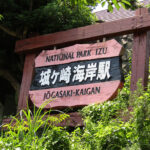
Jogasaki Coast

Jogasaki Coast

Back home, heading to the coast for the day didn’t require much thought. Hop in the car, swing by the grocery store for some snacks and make the hour-or-so drive to the beach.

Last Friday, we decided to spend the weekend at the Jogasaki Coast on the Izu Peninsula southwest of Tokyo. I get the sense that a “trip to the coast” isn’t something that’s just done from central Japan. It requires some planning: finding a place to stay, mapping out the three-hour train ride… however, the swinging by the grocery store for some snacks part is the same.

The snack cart on the Limited Express train, complete with beer-on-tap

But, we made it happen! Things came together nicely as we found a low-cost ryokan (Japanese inn) near the main train station in Ito city. The limited express train from Tokyo follows the coastline and, similar to the shinkansen (bullet train), offers reserved seating, a snack bar and a snack cart, complete with beer-on-tap. I’ll write more about train culture in the future—the way people behave on the different types of trains is fascinating.

Eating is a big part of traveling and this trip didn’t disappoint. We had an amazing vegetarian lunch at Cafe Sora and a fun and filling dinner at the ryokan made up of random things picked up at the nearby grocery store.

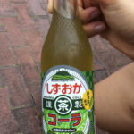
Sampling meibutsu—the Japanese word for famous products of a region—is a fun way to get to know an area. In Ito, that’s wasabi, mikan (mandarine oranges) and yamamomo (bayberry). We had wasabi ginger ale, yamamomo soda (and beer), and mikan ice cream (and beer).

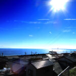
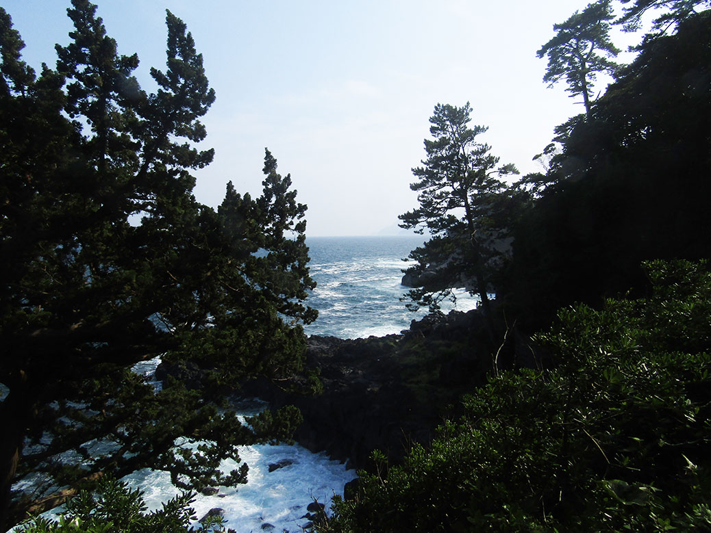
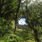
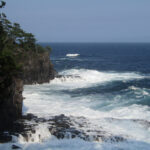
After our lunch at Cafe Sora, we hiked along the coastal trail. From Renchakuji Temple, the path south takes about three hours to get to the Hashidate Suspension Bridge. The trail winds through forest and along the rocky coast, offering breathtaking glimpses of the sea.

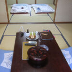
Staying at a ryokan was on our short list of things to do while in Japan. We stayed at the charming Hinodeya Ryokan a short walk from Izu Kogen Station. The small guesthouse has just a few rooms and the service was excellent. We were given the quick tour and shown to our room, which was nearly as large as our apartment! A small carpeted entry area was separated by traditional sliding shōji doors leading to two tatami-floored rooms.

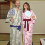
A chabudai (low dining table) was arranged in the middle of the first room where we were served iced green tea. The second bedroom was made up with traditional futons. We were given yukata—light cotton robes—to wear around the ryokan or even out on the town!

The shared baths were separated by gender, but they set us up in the smaller women’s bath so we could relax together. All of our previous onsen/sento experiences have been in the gender-separated baths, so this was a pleasant change to be able to share the experience.

The next morning, we were served a traditional Japanese breakfast in the main dining room downstairs. We wore our yukata to breakfast and laughed when a Japanese family entered the room dressed in their normal clothes. Oh, foreigners! The breakfast included rice, miso soup, tsukemono (pickled vegetables) and a hotplate to make a small omelette. They also had a pickled shrimp dish and a whole fish—head and all—split down the middle. We just moved the fish dishes around a bit, not wanting to be rude.

After breakfast, we were served coffee in the “family room” where the lady who made our breakfast showed us pictures of her garden. At checkout, the man who seemed to run the place asked where we were going. I told him we were headed to Mt. Omuro and he said he’d give us a ride, turning an hour-long bus trip into a 10-minute drive. Plus, riding in a car is a rare experience, so that was an added bonus!

Mt. Omuro, a dormant volcano with an archery range in its crater

Thanks to the lift, we arrived at Mt. Omuro just after the cable car opened, beating the crowds. From the top of the grass-covered dormant volcano, you can see the surrounding mountains and farmland, the village below and all the way out to the sea and the Izu island chain. An archery range has been set up inside the crater. A man and his daughter fired arrows while tourists watched from above (see the video below).

Every February, the sleeping giant burns brightly, but the scheduled fire and smoke don’t come from within. The Yamayaki of Mt. Omuro is one of the area’s most popular events as the grass is burned to promote healthy growth for the coming year.

Video: Jogasaki Coast and Mt. Omuro

Ito was the perfect weekend getaway; a soul-refreshing trip to the sea.