Chichibu Night Festival

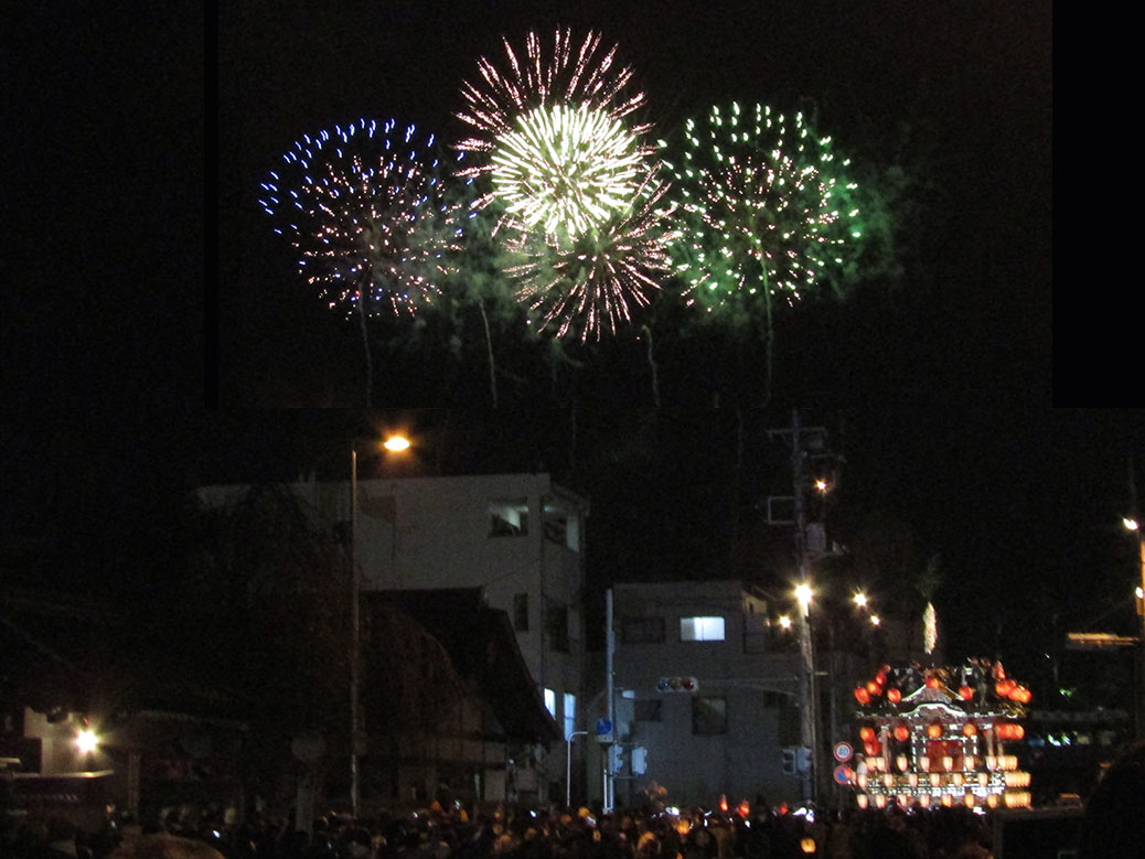
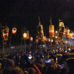
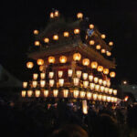
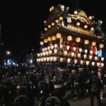
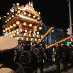
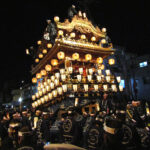
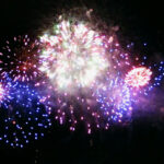
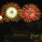
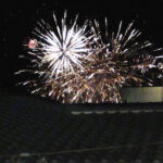
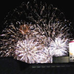
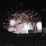
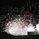
Fireworks and floats at the Chichibu Night Festival in Chichibu, Saitama

Tradition trumping modernity brings me great joy. For more than 300 years, the Chichibu Yomatsuri (Night Festival) has been held annually on December 2 and 3. It doesn’t matter if those days fall on the weekend or, as they were this year, Wednesday and Thursday.

The midweek schedule didn’t stop visitors flocking from Tokyo and beyond out to the small town in the foothills of the Okuchichibu Mountains. The festival is considered one of Japan’s three great float festivals alongside those in the cultural titans of Kyoto and Nara.

Click any photo in the gallery to see a larger version and start a slideshow view

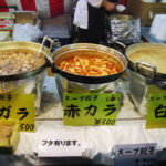
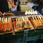
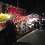
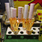
The best part about night festivals is that they start around dinner time, so it’s a great excuse to pig out on festival food. There’s a lot of festival standards, but each town also has its own unique festival foods. In Chichibu, we saw a variety of dumpling soups and omusoba, which is an egg omelette wrapped around yakisoba noodles and topped with a sunny-side-up egg, ketchup and mayonaisse. It was kind of amazing.

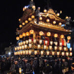
December 3 is the main day of the festival. The parade features floats carried from Chichibu Shrine to the city hall where they’re displayed and used as stages for kabuki performances.

Click any photo in the gallery to see a larger version and start a slideshow view

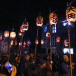
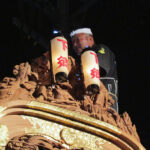
The float parade is lively with a group of young people leading the way with chants of “Ho-ryai!” (“Hooray!”). The massive float follows behind, performers waving lanterns on the stage built into the front and others hanging from the top, at least 20-feet above the ground.

Read an interesting perspective on the building of the floats at Sonic-Yoshi

The ornate floats, called “yatai,” are built using Japanese elm wood and weigh as much as 20 tons. They move slowly through the streets until they reach the intersection near Ohanabatake Station. Here they perform a ceremonial turning of the float called nonoji-mawashi, or “Turning in the Shape of No.” In this case, “no” is the character .

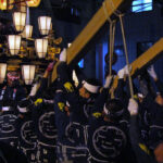
The danger is palpable; the gasps from the crowd audible. It takes a dozen people using long wooden pillars to lift the end of the float enough that someone can crawl underneath and rearrange the direction of the wheels. Dozens more push the behemoth into its -shaped turn.  All the while, the float lists, leans and wobbles like a disaster waiting to happen.

Click any photo in the gallery to see a larger version and start a slideshow view

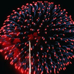
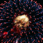
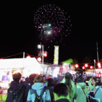
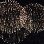
Before, during and after the parade, the sky lights up with hundreds of fireworks. Hanabi (firework viewing) is usually a summertime event, so the show in Chichibu is unique in December. It also gave us an opportunity to try out the “Fireworks” setting on our camera, capturing some fun shots.

I find myself running out of superlatives for the things we’re so fortunate to experience in Japan. Chichibu is one of our favorite places in Japan (see here and here and here) and it just received another tick in the plus column.

Video: Chichibu Night Festival

Hiking Hiwada

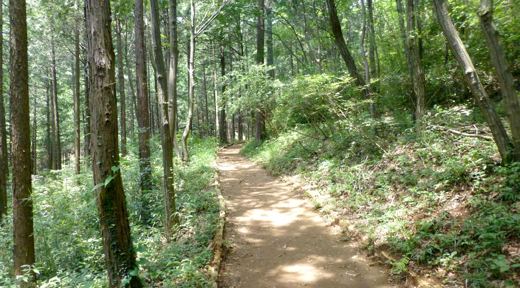
Part of the Mt. Hiwada trail

Before leaving the U.S., we’d started to get into hiking. With the beautiful natural areas in Oregon, it’s not hard to find a hiking trail to fit your mood. Japan offers many hiking opportunities, but our area is so citified that greenspace is mostly limited to parks with walking paths.

However, just a short train ride to the west lies the Okuchichibu Mountainous Region (奥秩父山地). The area is full of wooded hiking trails and reminiscent of the Cascade and Coast ranges back home. Hidaka City is the gateway to the Okuchichibu region, with three great peaks and just a 15 minute train ride from our station. We headed for Hidaka, choosing to brave the 90-plus degree temperatures following a few days of Typhoon Neoguri leftovers. Luckily, although just a few miles west, the temperatures were pleasant and a light breeze made for a comfortable day.
Bus Stop Bingo
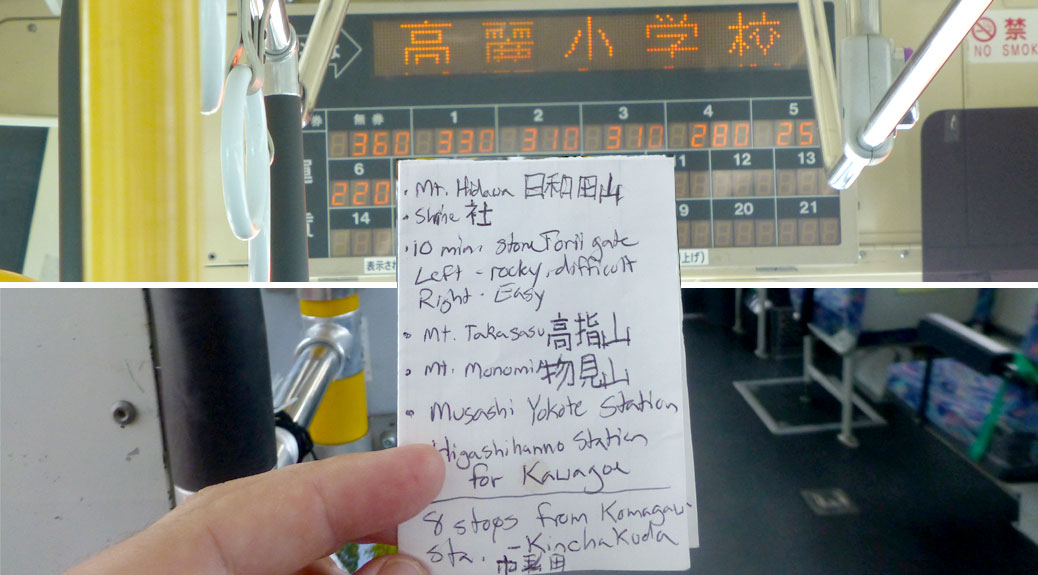
Playing Bus Stop Bingo, matching the kanji on the display board for the Kinchakuda stop

We’d been to Hidaka recently for lunch, so we knew that we needed to plan slightly better for the bus ride. In reading the few reviews I could find for the hike, I also knew we wouldn’t see much rōmaji, so I carefully wrote out the kanji for each mountain we’d be hiking and the bus stop we’d need. Since the bus only stops when people need to get on or off, we played some Bus Stop Bingo trying to match my scribbles to the reader board on the bus.

Hiwadayama Street Sign
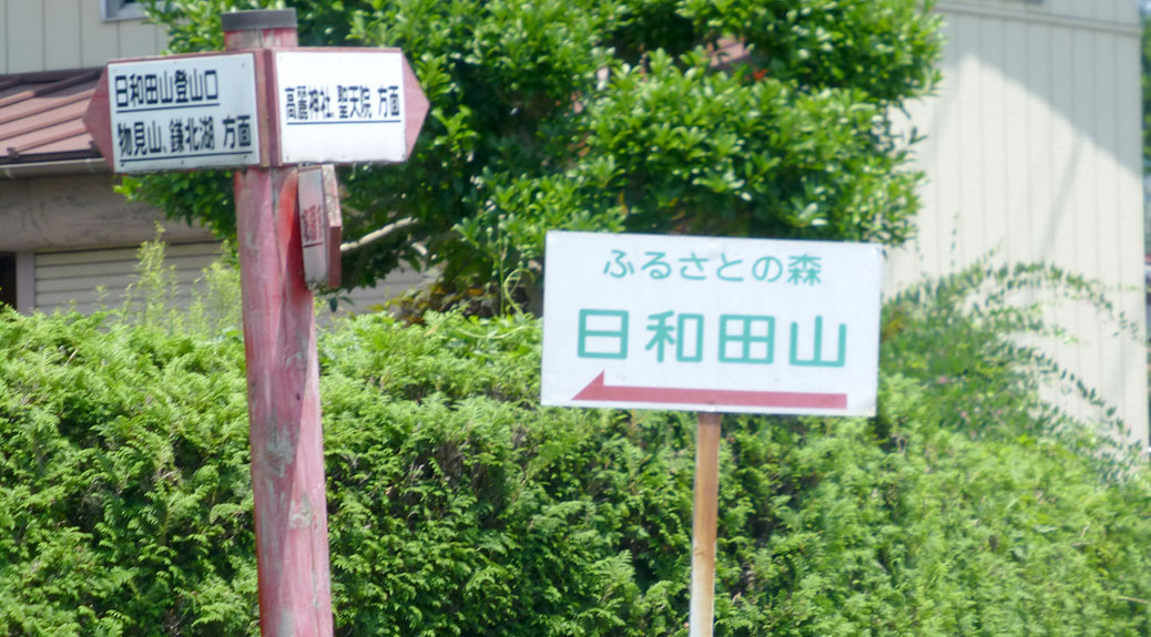
The sign from the road pointing to the Hiwadayama trail head.

After successfully departing the bus at Kinchakuda, we headed up the road to the Mt. Hiwada (日和田山) trail head. The trail had a couple options. You could walk the gentle slope of the switchbacks up to the start of the main trail or follow the makeshift stairs straight up the side of the mountain. We opted for the challenge of the stairs and worked our way up to the trail’s first torii.

Men's Course
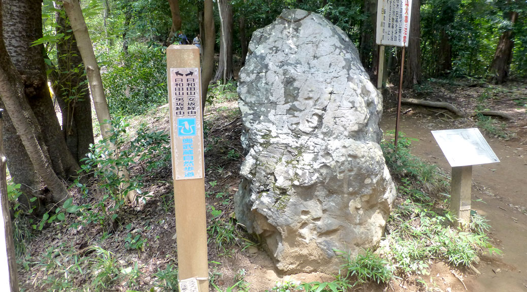
Choose your own adventure: Men’s course or women’s course?

At the top of the initial climb, the trail splits into two paths to Hiwada’s summit. The politically-incorrect options: to the left, the “Men’s Course” (男坂経由) and to the right, the “Women’s Course” (女坂経由). In true Cascadian fashion, we opted for the more difficult Men’s Course, a rocky and hilly climb to the peak.

Panorama
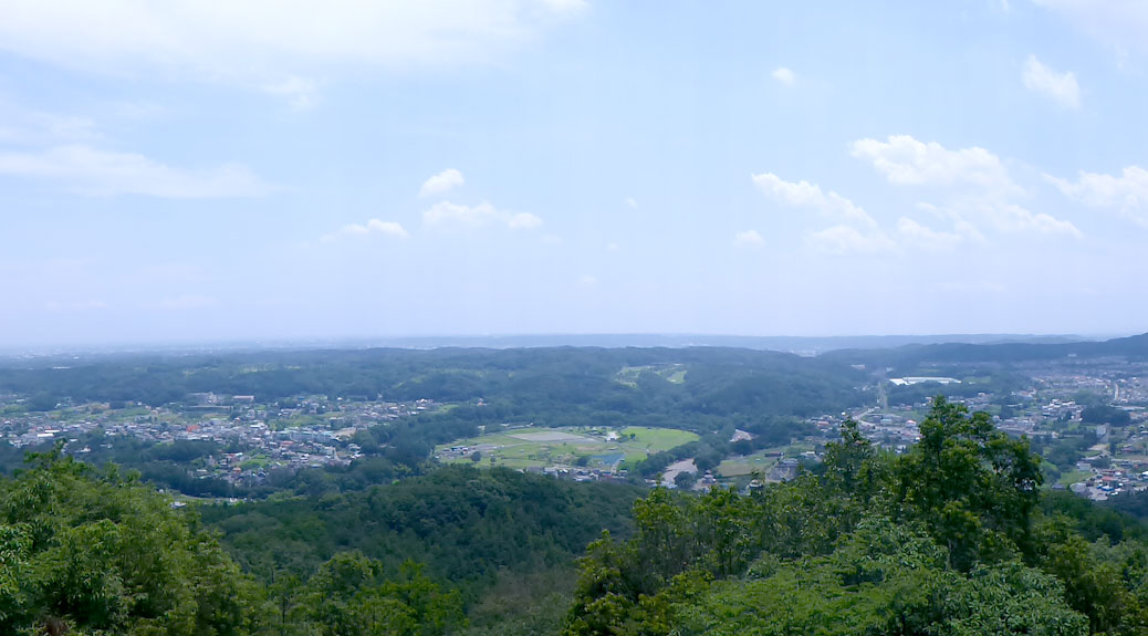
Part of the gorgeous panoramic view near the top of Mt. Hiwada

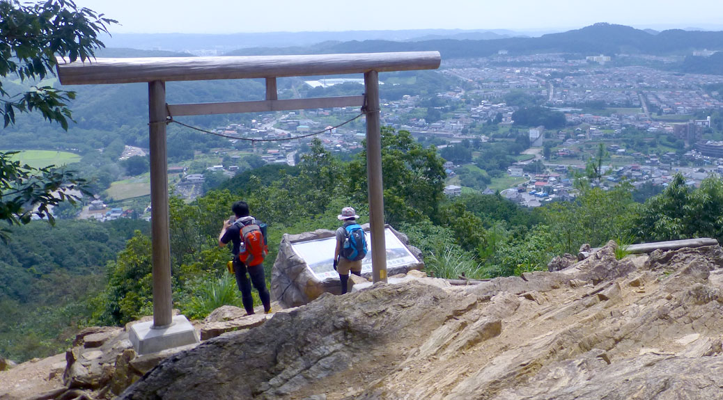
The trees opened up along the way to offer views of Tokyo to the east and the Okuchichibu region to the west. Eventually, the summit comes into view as a large torii frames Kotahira Shrine.

View from Kotahira Shrine
The view from Kotahira Shrine

From the shrine, it’s a short, rocky climb to the peak. From the trail head to the summit, it was about 1,000 ft of elevation gain over a half-mile distance. The straight-up climb plugged our ears, but the benches at the summit offered a chance to adjust to the elevation.

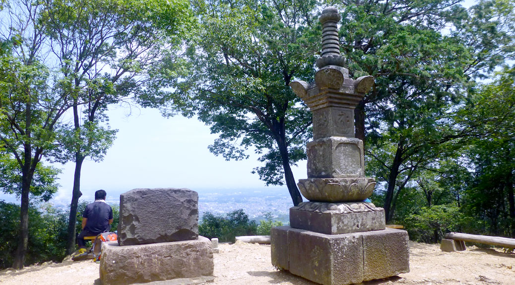
Hiwada summit
This statue marked the summit of Mt. Hiwada

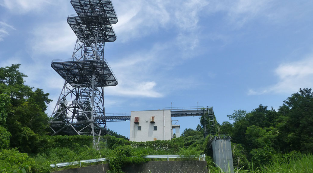
From here, it was about a one-third mile walk to the Mt. Takasasu (高指山) summit. The short path felt like exploring the jungle in Lost. Oddly-placed, dilapidated structures rose from the trees around every corner. The summit itself was marked by a radio tower surrounded by a rusted, broken-down building. We quickly moved on before the Smoke Monster decided to make an appearance.

Takasasu summit
The summit of Mt. Takasasu, otherwise known as Dharma Initiative Station 11, The Tower.

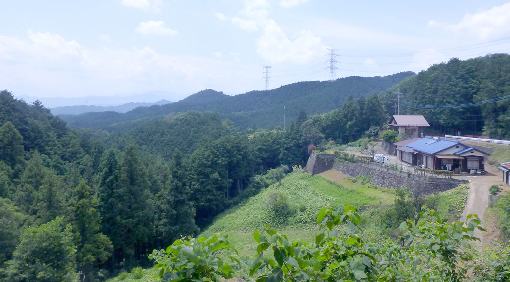
The last peak was Mt. Monomi (物見山). Along the way, a beautiful view emerged with a house perched over a valley with views of nothing but trees and mountains. A small rest house offered respite from the sun as well as vending machines and restrooms. We stopped briefly to refill the water bottle and buy a couple sports drinks before moving on.

Rest House
The rest house leading to the Mt. Monomi trail head

The Monomi trail was some of the day’s more challenging terrain. The recent rain left some muddy spots and steep, rocky trails interrupted the smoother paths up to the summit. At the top, any potential view was blocked by pesky trees, but some comfy benches allowed for another short rest and a snack.

Say Chīzu!
“Say Chīzu!” A hiking group stopped to take a picture at the Mt. Monomi summit.

A large hiking group came in from another trail and stopped to take a picture. In a funny moment of cross-culturalism, the photographer urges the group to “Say Chīzu!” While the shape of the word “cheese” naturally creates a smile, the Japanese equivalent of “chīzu” creates more of a, um, dumb face! After saying “chīzu,” they adjust their mouths into smiles and the photo is snapped.

We briefly followed the group down the hill, but took the first opportunity to pass the slow-moving herd (on the muddiest part of the trail, of course) to head back down Monomi. The path down winds through some interesting terrain. At times, the path is rocky and muddy, while in other places, you find yourself walking through someone’s orange orchard. Eventually you reach a road and follow it down for about a mile where you end up at Musashi Yokote Station (武蔵横手駅).

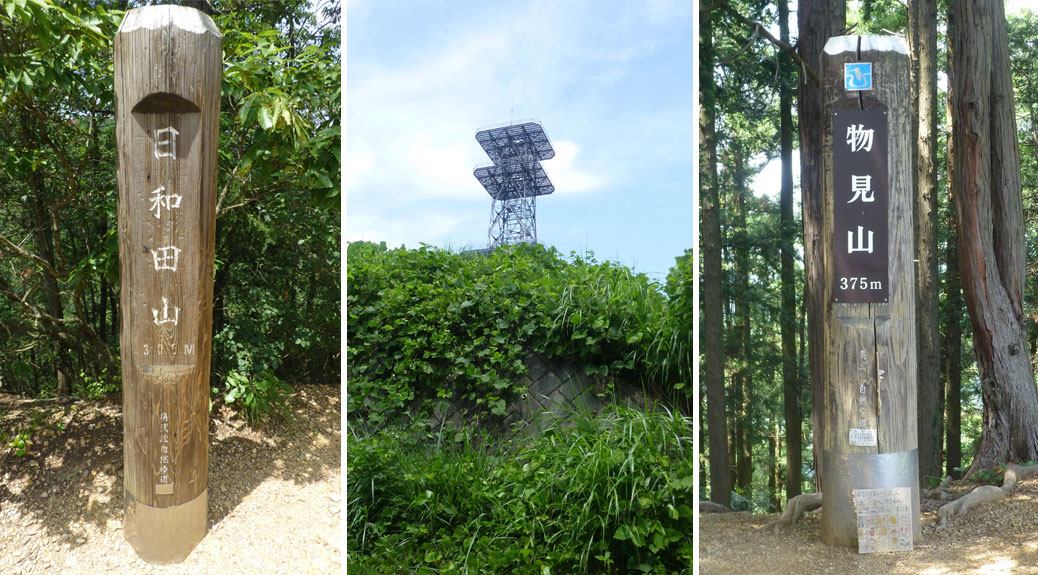
Summit Markers
The summit markers for Hiwada, Takasasu and Monomi

By the end of the day, we’d hiked roughly five miles and ascended/descended 1,200 feet over three-plus hours. The hike itself was very convenient with well-placed facilities that don’t interrupt the natural experience. The views were unbelievable in places and the trails were challenging, but doable with any level of fitness. I’m sure we’ll venture further into the Okuchichibu region for our next hike, but with the proximity and access of the Hiwada-Takasasu-Monomi trail, we’ll be back here sooner rather than later.